

1. How do we use scale on a map
1.1. Map scale
1.1.1. Numeric: is expressed as a fraction.
1.1.2. Graphic scale: (bar scale) shows the equivalent distance on a bar divided into equal segments, usually 1 cm.
1.2. How to use scale to calculate distances
1.2.1. a) Interpret the map scale 1/8,250,000. So 1cm is equivalent to 82,5 Km ( or 8.250, 000 cm )
1.2.1.1. b) Measure the distance you wish to calculate
1.2.1.1.1. c) Do the calculations 1/8,250,000= 6cm/x x=8,250,000*6/1 x=49.500.000 cm
2. How do we represent the Earth?
2.1. Globes and maps
2.1.1. Globes: are accurate representation of the Earth.
2.1.2. Maps: provide information about a small area, a country, a region or the whole world.
2.2. The main features of a map
2.2.1. A map has the following features: a title, a scale, a key, an arrow pointing north, and a grid of imaginary lines.
2.3. Types of maps
2.3.1. Topographic: show the main features of the natural environment ( mountains and rivers)
2.3.2. Thematic provide visual information on a particular subject ( climate and pollution)
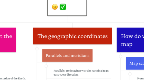
3. The geographic coordinates
3.1. Parallels and meridians
3.1.1. Parallels: are imaginary circles running in an east-west direction.
3.1.2. Employee
3.2. Deal construction
3.2.1. Employee
3.2.2. Employee
3.3. Revenue projections
3.3.1. Employee
3.3.2. Employee