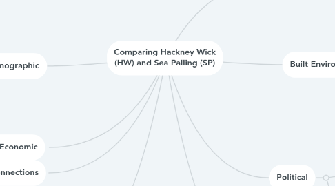
Comparing Hackney Wick (HW) and Sea Palling (SP)
by Graeme Eyre
1. Demographic
1.1. HW - 60% Male, 40% Female, Most aged 30-34, very limited young and older people. 70% white.
1.2. SP - Even gender split, most aged 45+; not many young people. 98% white.
2. Socio-Economic
2.1. HW - Over 50% have a degree; very few employed in manufacturing 4%, 2.5% unemployed. biggest group of employment is professional.
2.2. SP - 27% population employed full time, 22% retired, biggest group of employment is retail.
3. Connections
3.1. HW - Served by dual carriageway - A12; regular bus services every 3-4 minutes. Located on Overground line. Canal side cycle paths connect it to other parts of the city. 15 minutes walk from Stratford International.
3.2. SP - Served by single lane A road. 20 minutes to nearest town (Great Yarmouth). Served by 4 buses a day. Nothing in walking distance.
3.3. Both - Post Offices (SP limited hours), Broadband Internet (HW superfast fiber).
4. Past
4.1. SP - Originally a fishing village; in 1800s began to welcome tourists.
4.2. HW - Originally an industrial zone; once where Matchbox cars were made. This continued in up to the 1980s.
5. Location
5.1. HW- East London, Urban, Inner City
5.2. SP - Norfolk Coast, Rural
6. Built Environment
6.1. HW - High Density of Buildings; apartments, converted warehouses and new builds. Some remnants of light industry - e.g. H Foreman and Sons Salmon Smokers. / Scrapyard on Edge
6.2. SP - Low Density of buildings; detached and semi detached. Range of ages. Some land used for tourism - e.g. amusement arcade.
7. Political
7.1. SP - Member of Parliament Liberal Democrat, North Norfolk Council; local councilor Conservative.
7.2. HW - Member of Parliament, Labour; and local councilors on Hackney Borough Council - Labour
8. Crime
8.1. SP - Main crime - burglary - 12 crimes reported in December 2017.
8.2. HW - Main crime - vehicle crime - 110 crimes reported in December 2017
