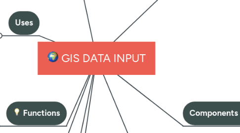
GIS DATA INPUT
by ntombikayise Bulunga


1. Surveying
2. Functions
2.1. Input
2.2. Store
2.3. Manipulate
2.4. analyze
2.5. manage
2.6. Present data
3. Uses
3.1. Study geologic features
3.2. Analyze soil and strata
4. Science
4.1. Remote sensing
4.2. Cartography
5. Challenges
5.1. Equipment
5.2. Money
5.3. Skilled personnel
6. Importance
6.1. Planning
6.2. Decision making
6.3. Organizing
7. Components of GIS
7.1. Computer
7.1.1. Software
7.1.1.1. Arcmap
7.1.1.2. ArcGis
7.1.1.3. CAD
7.1.2. Hardware
7.2. Attribute data
7.2.1. Where, why and how
7.3. People
7.4. Data
7.4.1. Technicians
7.4.2. Spatial data
7.4.2.1. Example road map
7.5. Procedure
8. Applications
8.1. Agriculture
8.1.1. Tractor monitoring
8.2. Health
8.3. Urban management
8.3.1. Town planing
8.4. Education
8.4.1. University
8.4.2. School level
9. Data models
9.1. Vector data
9.1.1. Points
9.1.2. Lines
9.1.3. Polygons
9.2. Raster data model
9.2.1. Pixels
