
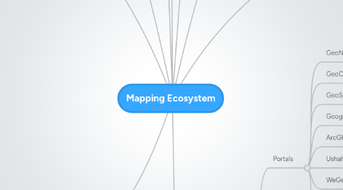
Mapping Ecosystem
作者:Ghassen Aouinti
1. Web Mapping Frameworks
1.1. CartoSet
1.2. GeoDjango
1.3. GeoNode
1.4. Ushahidi
1.5. Drupal
2. Production & Analysis Tools
2.1. GDAL/OGR
2.2. Shapely
2.3. Geotools
2.4. JTS
2.5. R
2.6. OSSIM
2.7. LibLAS
2.8. Sextante
2.9. WPS
2.10. GEOS
2.11. FME
3. Map Generators
3.1. Tilemill
3.2. Tilestache
3.3. Mapnik
3.4. WMS
3.5. ArcGIS
3.6. Google Fusion Tables
3.7. CartoDB
3.8. WindShaft
4. Production & Analysis Tools
4.1. GDAL/OGR
4.2. Shapely
4.3. Geotools
4.4. JTS
4.5. R
4.6. OSSIM
4.7. LibLAS
4.8. Sextante
4.9. WPS
4.10. GEOS
4.11. FME
5. Databases
5.1. ORM
5.1.1. SQLite/SpatialLite
5.1.2. Postgres/PostGIS
5.1.3. MySQL
5.1.4. SQL Server
5.1.5. Oracle
5.1.6. SQLite
5.2. NoSQL
5.2.1. ElasticSearch
5.2.2. CouchDB
5.2.3. Cassandra
5.2.4. Mongo
5.2.5. Hbase
5.2.6. Neo4J
6. Desktop Clients
6.1. UDig
6.2. QGIS
6.3. ArcGIS
6.4. GRASS
6.5. MapInfo
6.6. Intergraph/Erdas
6.7. GVSig
6.8. Autodesk
7. Web Clients
7.1. Leaflet
7.2. Google Maps
7.3. Polymaps
7.4. OpenLayers
7.5. Bing Maps
7.6. ArcGIS
7.7. MapInfo
7.8. Intergraph
7.9. Autodesk
7.10. ESRI Javascript, Flex, Silverlight
8. Web Client Libraries
8.1. PROJ4JS
8.2. JTSJS
8.3. Sencha Touch
8.4. JQuery(Mobile)
9. Data Providers
9.1. Portals
9.1.1. GeoNode
9.1.2. GeoCommons
9.1.3. GeoSpatial OneStop
9.1.4. Google Maps
9.1.5. ArcGIS Online
9.1.6. Ushahidi
9.1.7. WeGeo
9.1.8. Government
9.1.8.1. Federal
9.1.8.2. State
9.1.8.3. County
9.1.8.4. City
9.2. APIs
9.2.1. InfoChimps
9.2.2. SimpleGeo
9.2.3. Factual
9.2.4. FourSquare
9.2.5. Twitter
9.2.6. Flickr
9.2.7. GeoNames
9.2.8. GeoPlanet
9.2.9. LeadDog
9.2.10. WeoGeo
9.3. Base Maps
9.3.1. Google Maps
9.3.2. OSM
9.3.3. MapQuest
9.3.4. Bing Maps
9.3.5. Cloudmade
9.3.6. ArcGIS Community
9.3.7. ESRI basemaps
9.4. Social Media
9.4.1. Twitter
9.4.2. FourSquare
9.4.3. GoWalla
9.4.4. Instagram
9.4.5. Flickr