
1. Air base
1.1. Harvard
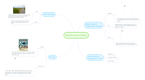
1.1.1. The Squantum air base (1910 - 1915) was created by Harvard and was in operation until the US air force took over.
1.2. US Air Force
1.2.1. (1917, 1923 - 1953) The Government had control of the air base for this time frame including being active for WWI and WWII. It was used as a training area and for the US Navy.
2. Park and future
2.1. Park
2.1.1. In 2001 Squantum Point Park was created and is still currently in use and is known for bird watching and the views of Boston.
2.2. Future
2.2.1. There are currently ongoing discussions to put a hotel and transportation hub there.
3. Native American transportation routes
3.1. Neponset
3.1.1. The Neponset River was frequently used with the Natives for trade and most transportation around Squantum Point
3.2. Thompson island
3.2.1. Thompson Island is located half a mile northeast of Squantum Point and was used very often for trade (especially fur) in the Native's era.
3.3. other routes
3.3.1. Other close by routes are the Mohawk Trail, Pequot path, Old Connecticut path, and Bay path.
4. Native American transportation methods
4.1. Mishoon
4.1.1. A mishoon was a type of canoe used by the native Americans to cross waterways for trade or to hunt
4.2. foot
4.2.1. Native American walking trails existed, they would use these to get to desired locations for trading or hunting.
4.3. horse
4.3.1. Native Americans also rode on horseback for quicker easier travel compared to on foot.