Map Projections-Geography- Olivia Cudicio
by Olivia Cudicio
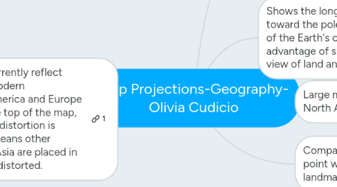
1. Biased Maps: maps currently reflect European origins of modern cartography. North America and Europe are often placed at the top of the map, or center. In this case, distortion is usually minimal. This means other regions, such as East Asia are placed in the area that is highly distorted.
1.1. It is speculated that because some individuals are used to seeing the US and Europe in the center, and top of maps, individuals living in modern industrial worlds have the view that the Northern Hemisphere is superior to the Southern.
1.1.1. If educators change the maps they use in the classroom, perhaps young students would not subconsciously assume this bias.
1.2. A good example of this could be Robinson's projection. This map displays Europe and the US in the clearest parallels, so students have the best picture of "white" nations. This map distorts the landmasses of non-white nations. Perhaps a different map in a classroom would allow students to see these countries in a different light.
1.3. On a practical level: students should be able to look at other maps and identify landmasses on various maps, not just one projection.
2. Geographic Information Science (GISc)
2.1. The body of science that underwrites multiple spatial analysis technologies and keeps them at the cutting edge.
3. Large midlatitude regions-East/West, ie: North America, Europe, China, Russia
3.1. Albers Projection: Conical, two standard parallels on which to orient the map, the parallels have no distortion. Areas furthest away from the parallels have the most distortion.
4. Compass direction between two fixed point with accurate portrayal of landmass outlines
4.1. Mercator Projection: distorted and stretched out poles.
5. Shows the longitude lines curving toward the poles to give an impression of the Earth's curvature, and it has the advantage of showing an uninterrupted view of land and ocean.
5.1. Robinson Projection: Less distortion in high latitudes than the Mercator projection. However it distorts the landmasses' shapes because of the curve of the longitude lines.