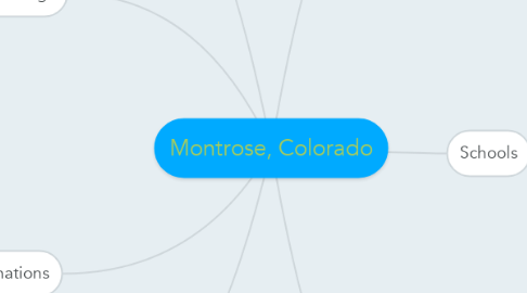
Montrose, Colorado
by Ellarie Anderson


1. Surroundings
1.1. North
1.1.1. Grand Mesa
1.2. East
1.2.1. Black Canyon
1.3. South
1.3.1. San Juan Mountains
1.3.1.1. Mt. Sneffels
1.3.1.2. Mt. Wilson
1.3.1.3. Uncompahgre Peak
1.3.1.4. Red Mountain
1.3.1.5. Mt. Wetterhorn
1.4. West
1.4.1. Uncompahgre Plateau
2. Destinations
2.1. Black Canyon National Park
2.2. Russell Stovers
2.3. Ute Indian Museum
2.4. Museum of the Mountain West
2.5. Ouray
2.6. Telluride
2.7. Powderhorn
3. Nature
3.1. Blue Spruce
3.2. Aspen Trees
4. Climate
4.1. Experience All Four Seasons in Montrose
4.2. Average temperature per season
5. About
5.1. Montrose is located on the Western Slope of Colorado at 38.4783° N, 107.8762° W.
5.2. The population of Montrose, as of 2013, was 19,015.
5.3. The elevation of Montrose is 5,807 feet.
5.4. The median cost of a home in Montrose is $209,000. The median cost of renting a home in Montrose is $1,375.
6. Schools
6.1. Post-Secondary Education
6.1.1. Colorado Mesa University
6.1.2. Delta-Montrose Technical College
6.2. High School Education
6.2.1. Montrose High School
6.2.2. Peak Virtual Academy
6.2.3. Vista Charter School
6.3. Middle School Education
6.3.1. Centennial Middle School
6.3.2. Columbine Middle School
6.4. Elementary Education
6.4.1. Pomona Elementary School
6.4.2. Johnson Elementary School
6.4.3. Cottonwood Elementary School
6.4.4. Northside Elementary School
6.4.5. Oak Grove Elementary School
6.5. Preschool Education
6.5.1. Bright Beginnings Preschool
6.5.2. Sonshine Patch Preschool
6.5.3. Adventure World Preschool
6.5.4. Little Harvard Preschool & Childcare

