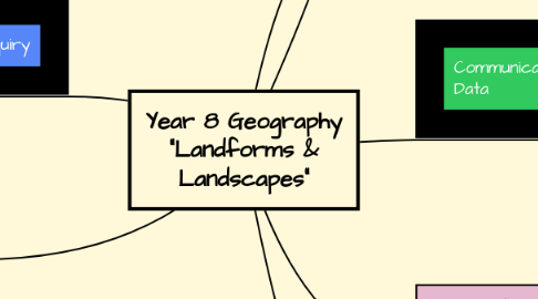
Year 8 Geography "Landforms & Landscapes"
af Amanda West


1. Evaluating and Representation of Geographical Data
1.1. Understanding and Interpreting Maps
1.1.1. Scales
1.1.2. Patterns within data and maps
1.1.3. Meeting cartographic conventions
1.1.4. Variety of maps
1.2. Use of spatial technologies to visualise, manipulate, analyse, display and record spatial data (ACHGS058)
1.2.1. Global Positioning System (GPS)
1.2.2. Google Earth
1.2.3. Geographic Information Systems (GIS)
2. Planning Geographical Inquiry
2.1. Develop Geographically Significant Questions (ACHGS055)
2.1.1. Using digital technologies to plan
2.1.2. Identifying relevant questions and investigations methods
3. Data Collection and Data Interpretation
3.1. Looking at patterns and relationships
3.2. Interpreting maps and diagrams
3.3. Estimation and Calculation of statistics
3.4. Comprehending and composing a variety of texts
3.5. Assessing all texts for reliability and relevance (ACHGS056)
3.6. Utilising both Qualitative and Quantitative methods
4. Drawing Conclusions
4.1. Reviewing analysis to form opinions on results (ACHGS060)
4.1.1. Data analysis
4.1.2. Reasoning
4.1.3. Interpreting texts
5. Communicating Geographical Data
5.1. Using disciplinary specific vocabulary
5.2. Composing a variety of texts
5.2.1. Speaking
5.2.2. Writing
5.2.3. Visual
5.2.4. Technological

