Geostatistical reservoir modeling: An overview

Comienza Ya. Es Gratis
ó regístrate con tu dirección de correo electrónico
Geostatistical reservoir modeling: An overview por Mind Map: Geostatistical reservoir modeling: An overview

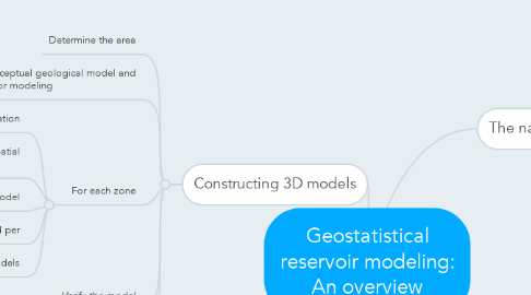
1. Constructing 3D models

1.1. Determine the area

1.2. Establish a conceptual geological model and defiine zones for modeling

1.3. For each zone

1.3.1. Define stratigraphic correclation

1.3.2. Define the number of rock types, data,spatial correclation

1.3.3. Generate 3D rock type model

1.3.4. Establish porosity and per

1.3.5. Genarate 3D por and per models

1.4. Verify the model

1.5. Combine zones into a single model

2. Why characterization reservoir ???

2.1. Simplifying reservoir approximately complex reservoir

2.2. Predicting optimistic performance

2.3. Linking useful informatiob from other reservoirs

3. The nature of reservoir

3.1. Complex; unlargely unexplored, unsampled, never truly random

3.2. Depend on geologic data, scale

3.3. Layer cake, jigsow, labyrinth

3.4. Flow unit