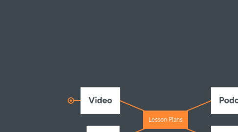
1. Video
1.1. Topic:
1.1.1. Grade 6 Science
1.1.1.1. MB Curriculum
1.2. Objective
1.2.1. GLO: C6. employ effective communication skills and utilize information technology to gather and share science and technological ideas and data.
1.2.2. GLO. D1. understand essential life structures and processes pertaining to a wide variety of organisms including humans.
1.3. Resources:
1.3.1. Video equipment
1.3.1.1. camera
1.3.1.2. Microphone
1.3.1.3. Tripod
1.3.2. Computers
1.3.2.1. computer account
1.3.2.1.1. Permission
1.3.2.2. Editing software
1.3.3. Sample video
1.4. Notes
1.4.1. Method of Instruction
1.4.1.1. Direct instruction
1.4.1.2. Discovery Learning
1.4.2. Assessment
1.4.2.1. Diagnostic assessment
1.4.2.2. Formative assessment
1.4.2.3. Summative Assessment
1.4.2.3.1. see my video
2. Podcast
2.1. Topic
2.1.1. ELA
2.1.1.1. Grade6
2.2. Objective
2.2.1. General Outcome 2 Comprehend and respond personally and critically to oral, literary, and media texts
2.2.2. poetry
2.3. Resources
2.3.1. see podcast on my blog
2.4. Notes
2.4.1. direct eduction
2.4.2. Assessment
2.4.2.1. the students will listen to the podcast and will explore their own meaning on the poem.
3. Map
3.1. Topic
3.1.1. Social Studies
3.1.1.1. Grade 6
3.2. Objective
3.2.1. Cluster 3 6-KL-025 Locate on a map of Canada the provinces, territories, and capital cities.
3.3. Method of Instruction
3.3.1. Direct Instrution
3.3.1.1. KL-025 Using an atlas, students compile a list of the names of the provinces and territories, their capital cities, and the capital city of Canada. They record the latitude and longitude of each city. Students then label a political map of Canada with the names of the provinces, territories, capital cities, and Canada’s capital city. TIP: Students will likely need pre-instruction/demonstration for this activity. Refer to an atlas and point out to students the lines of latitude (i.e., parallels) and longitude (i.e., meridians). Perform several examples using Canadian cities until students understand the concept. Students may be asked to first estimate latitude and longitude using a map, and then to verify the exact position of each city using the atlas index. You may also wish to cut the BLM key into cards, and ask students to match up the capital city, province, or territory with the latitude and longitude. If students require more practice with the concept, ask them to place the cities in order from the farthest north to the farthest south, or from east to west. Skill 7b BLM: Locating Capital Cities 6.3.1 d BLM: Political Map of Canada 6.3.1 f BLM: Locating Capital Cities—Key
3.3.2. Discovery Learning
3.3.2.1. Google maps
3.3.2.1.1. explore own address town and provinces
3.4. Notes
3.4.1. Resources
3.4.1.1. Google Earth Pro
3.4.1.1.1. Explore the country of Canada
3.4.2. Assessments
3.4.2.1. Hand in maps of canda provinces
4. Collaboration
4.1. Topic
4.1.1. Social Studies
4.1.1.1. Grade 6
4.2. Objective
4.2.1. Mb Curriculum
4.2.1.1. Historical Connections Students will explore how people, events, and ideas of the past shape the present and influence the future
4.2.1.2. KG-043 Give examples of Canada’s involvement in world conflicts since 1945. Examples: Korean War, Cold War, Gulf War, Bosnia, Afghanistan, international peacekeeping...
4.2.1.3. 6.3.4 Canada on the World Stage
4.2.2. ICT Curriculum
4.2.2.1. Google slides
4.2.2.1.1. sample of google slides on the blog collbration
4.2.2.2. You tube video
4.2.2.2.1. students make select i will look through you tube
4.2.2.3. kahoot
4.2.2.3.1. students will ask three questions to fellow students.
4.2.3. Blooms taxonoy
4.3. Resources
4.3.1. computer
4.3.1.1. laptops to utilize research in classroom
4.3.2. permission forms
4.4. Notes
4.4.1. Method of Instruction
4.4.1.1. discovery learning
4.5. Prerequisite
4.5.1. review notes on general learning objectives

