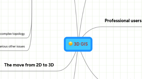
1. Data model
1.1. Relational databases (RDBS) unsuited
1.2. Object-oriented databases (OODBMS) better
1.2.1. Zlatanova (2002)
1.2.1.1. Constructive Solid Geometry
1.2.1.1.1. origins in CAD
1.2.1.1.2. Built from primitive shapes (spheres, squares etc)
1.2.1.1.3. Can become complex
1.2.1.2. Voxels - tesselation representation
1.2.1.2.1. Similar to raster but in 3D
1.2.1.2.2. Large volume - like raster data but exponentially larger
1.2.1.3. Tetrahedrons
1.2.1.3.1. Forms all shapes from one 3D primitive shape
1.2.1.3.2. Can take many tetrahedra to create one shape
1.2.1.3.3. Relatively easy to work with
1.2.1.4. Boundery representation
1.2.1.4.1. Shapes formed of points, lines, polygons and polyhedrons
1.2.1.4.2. Can become complex
1.2.2. Bodum
1.3. More complex topology
1.3.1. Zlatanova (2004)
1.4. Various other issues
1.4.1. Musliman (2007)
2. Vizualisation
2.1. Games-engine technology
2.1.1. Mark Beckett (2010)
2.1.2. Hudson-Smith (2008)
2.2. User-centred interaction
2.2.1. Nielsen (2004)
2.3. Necessary to be 3D?
2.3.1. Bodum (2004)
2.3.2. Levels of abstraction
2.3.2.1. Jahnke 2009
2.4. Depth cues
2.4.1. Meng
3. The move from 2D to 3D
3.1. The benefits of 3D
3.1.1. Swanson 1996
3.1.1.1. Van Driel 1989
3.2. Overview of the move from 2D to 3D
3.2.1. Zlatanova 2002
3.2.2. Stoter 2003
3.2.3. Ellul 2006
3.3. Drawbacks of 3D?
3.3.1. Volume of data
3.3.2. Complexity of processing
4. Public
4.1. Collaborative decision making
4.2. Less subjective
4.3. Greater inclusion / transparency
4.4. Planning for disabled access
4.4.1. Brunnhuber (2007)
4.5. Public only interested in geovizualization, not the data model and analysis
5. Professional users
5.1. Expert users
5.1.1. Improved decision making?
5.1.2. Improved visual output
5.2. Non-expert business users
5.2.1. User-friendly - more engaging
5.2.2. May be competitive market for GIS plug-ins etc
5.2.3. Challenges of interoperability
5.2.3.1. with CAD
5.2.3.1.1. Akinci (2009)
5.2.4. Challenges of interface design
5.2.4.1. Bistrom(2005)
6. Data collection
6.1. Laser scanning
6.1.1. In geology - Buckley (2009)
6.1.2. In urban environments - Overby (2004)
6.2. Digital photography
6.2.1. Irschara (2007
