Black Saturday Bushfires 2009

Just an initial demo map, so that you don't start with an empty map list ...

Get Started. It's Free
or sign up with your email address
Black Saturday Bushfires 2009 by Mind Map: Black Saturday Bushfires 2009

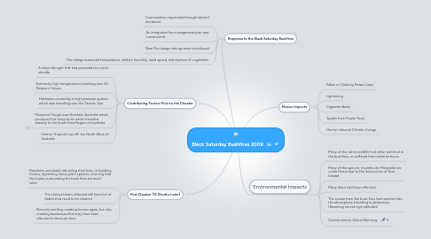
1. Response to the Black Saturday Bushfires

1.1. Communities responded through aid and donations

1.2. An integrated fire management plan was constructed

1.3. New Fire danger ratings were introduced

1.4. The ratings measured temperature, relative humidity, wind speed, and dryness of vegetation

2. Contributing Factors Prior to the Disaster

2.1. A major drought that had persisted for over a decade

2.2. Extremely high temperatures reaching over 40 Degrees Celsius

2.3. Heatwave caused by a high-pressure system which was travelling over the Tasman Sea

2.4. Monsoon Trough over Northern Australia which produced hot troipical air which travelled directly to the South East Region of Australia

2.4.1. New node

2.5. Intense Tropical Low off the North West of Australia

3. Post Disaster (12 Months Later)

3.1. Residents are slowly rebuilding their lives, re-building homes, replanting native plant species; ensuring that the towns surrounding the bush fires are much safer

3.2. The various towns effected still had a lot of debris that need to be cleaned

3.3. Not only are they creating homes again, but also creating businesses that may have been effected in the bush fires.

4. Human Impacts

4.1. Fallen or Clashing Power Lines

4.2. Lightening

4.3. Cigarette Butts

4.4. Sparks from Power Tools

4.5. Human induced Climate change

5. Environmental Impacts

5.1. Many of the native wildlife had either perished in the bushfires, or suffered from extreme burns

5.2. Many of the species, in particular Marysville are under threat due to the destruction of their habitat

5.3. Many dams had been effected

5.4. The smoke from the bush fires had reached into the atmosphere travelling to Antarctica (Reaching record high altitudes)

5.5. Contributed to Global Warming