Unlock the full potential of your projects.
Try MeisterTask for free.
계정이 없으세요?
무료로 가입하기
둘러보기
추천 마인드맵
카테고리
프로젝트 관리
사업 및 목표
인적 자원
브레인스토밍 및 분석
마케팅 및 콘텐츠
교육 및 메모
엔터테인먼트
생활
기술
디자인
요약
기타
언어
English
Deutsch
Français
Español
Português
Nederlands
Dansk
Русский
日本語
Italiano
简体中文
한국어
기타
전체 맵 표시
마인드맵 복사&편집
복사
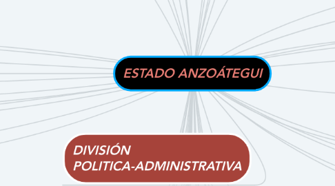
ESTADO ANZOÁTEGUI
교육 및 메모
José Rodriguez
팔로우
Descripción breve del Estado Anzoátegui por José Jesús Rodriguez Guevara
시작하기.
무료입니다
Google 서비스를 이용해 회원가입
또는
회원 가입
e메일 주소
비슷한 마인드맵
마인드맵 개요
ESTADO ANZOÁTEGUI
저자:
José Rodriguez
1. Francisco de Miranda
2. CLIMA
3. Su clima predominante es de Sabana y su temperatura oxcila entre 25 y 28 grados.
4. UBICACIÓN ASTRONÓMICA
5. Entre 07º40`16", 10º15`36" de latitud Norte y 62º41'05", y 65º43'09" de longitud Oeste.
6. POBLACIÓN
7. 2.103.856 habitantes
8. HIDROGRAFÍA
9. Rio Unare
10. Río Guere
11. Río Neverí
12. Río Guanipa
13. Río Morichal Largo
14. Río Mapire
15. Río Claro
16. Río Cabrutica
17. Río Pao
18. Río Orinoco
19. DIVISIÓN POLITICA-ADMINISTRATIVA
20. DIVIDIDA EN
21. 58 PARROQUIAS
22. Anaco
23. Juan Antonio Sotillo
24. Diego Bautista Urbaneja
25. Fernando de Peñalver
26. Francisco del Carmen Carvajal
27. Guanta
28. Independencia
29. Libertad
30. Manuel Ezequiel Bruzual
31. Simón Rodríguez
32. 43.300 km²
33. SUPERFICIE TERRITORIAL
34. UBICACIÓN
35. Se encuentra ubicado en la región nororiental del país, limitando con el mar Caribe, Sucre, Monagas, Miranda y con el río Orinoco.
36. RELIEVE
37. Consiste casi en su totalidad por los llanos del Oriente del Orinoco
38. RECURSOS
39. NATURALES
40. FORESTALES
41. Aceituno
42. Araguaney
43. Jobo
44. Vera
45. Ceiba
46. Petróleo
47. Arcilla
48. Gas Natural
49. Carbón
50. Aceite
51. José Gregorio Monagas
52. Juan Manuel Cajigal
53. Pedro María Freites
54. Píritu
55. Pedro María Freites
56. Sir Arthur McGregor
57. 21 MUNICIPIOS
지금 시작하세요. 무료입니다!
Google서비스에 연결
또는
회원 가입