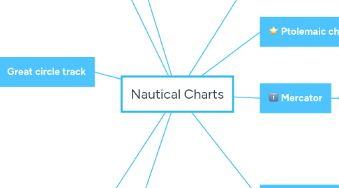
Nautical Charts
создатель Siria Smigliani


1. Earth: spherical surface with a network of parallels and meridians.
2. Rhumb line
2.1. A line between two points on the Earth's surface which intersects the meridians at a constant angle.
2.2. The curved line which joins two points on the Earth's surface and lies on a plane which does not intersect the centre of the Earth.
2.3. It is an arc of a small circle, is not the shortest route and is not used for ocean crossings.
3. Great circle track
3.1. A line following the shortest route between two points on the Earth's surface.
3.2. The arc of a great circle which is the shortest route between two points.
3.3. An imaginary line drawn on the Earth's surface which joins two points with a minimum distance.
3.4. It is used for ocean crossings.
4. Small circles
4.1. A circle formed on the Earth's surface which does not pass through the centre of the sphere
4.2. All the parallels, but not the Equator.
5. Passage planning
5.1. Regulated by the IMO Resolution A.893 (21)
5.2. Four steps to be carried out
5.2.1. Appraisal
5.2.2. Planning
5.2.3. Execution
5.2.4. Monitoring
6. Mercator
6.1. This type of projection is used nowadays for drawing up nautical charts.
6.2. Modern cartography.
7. Maps and charts
7.1. They are drawn to different scales indicated in the chart's margin.
7.2. They are drawn up using a technique called projection:
7.2.1. Mercator projection
7.2.2. Gnomonic projection
8. Great circle
8.1. Maximum circumference of the Earth
8.1.1. Equator
8.1.2. All the meridians
