

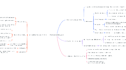
1. Additional Data Sources and Methods
1.1. Photogrammetry
1.1.1. using aerial photographs to create 3D terrain models
1.1.2. Applications: mapping, volume calculations, legal documentation, updating maps
1.1.3. Systems like TOPGIS integrate photogrammetry and GIS for advanced mapping (e.g., Switzerland’s TLM & DTM)
1.2. Satellite Remote Sensing
1.2.1. useful for large-scale, repetitive environmental monitoring and human activities
1.2.2. study land cover and change of detection
1.2.3. Enables mapping and assessment over time: crop health, storm runoff, land cover changes, air quality
1.2.4. Examples: IKONOS, SPOT-5 imagery for 3D visualization
1.3. GNSS (Global Navigation Satellite System) & Land Surveying
1.3.1. Provides highly accurate location data, essential for property, construction, and topographic surveys
1.4. Hydrography
1.4.1. Mapping underwater features, often by drones or autonomous vehicles
1.5. Existing Maps
1.5.1. Historical or reference maps can be used as sources for updating or verifying new data
2. Understanding Geographic Data
2.1. Geographic data refers to information tied to a specific location on the earth (surface, underground, or in the air)
2.2. Main Sources
2.2.1. Satellite Technologies
2.2.1.1. Capture detailed images of the Earth's physical features
2.2.1.2. Allow for accurate, precise, and repeatable measurements
2.2.1.3. revisit the same locations=useful for tracking environmental changes
2.2.2. Aerial Photography
2.2.2.1. creating base maps
2.2.3. Remote Sensing
2.2.3.1. Devices on satellites, planes, or the ground collect numeric data and transmit to receivers or store in computers
2.2.3.2. Data can be reconstructed into digital images or analyzed numerically
2.2.4. Physical Measurements/Environmental Monitoring
2.2.4.1. Collected during field surveys and sampling
2.2.5. Other Databases
2.2.5.1. GIS databases store, visualize, and analyze geographic information
3. Data Collection Technologies
3.1. Real-Time Kinematic (RTK) Surveying
3.1.1. Advanced GPS survey method for high-accuracy positioning
3.1.2. Enables quick movement between survey points with centimeter-level accuracy
3.1.3. Applications: engineering, cadastral (property), topographic, detail surveys
3.2. Survey Tools & Techniques
3.2.1. Total stations, mobile laser scanners, robotic systems for detailed mapping