

The GEO Data Frame
作者:Profesor Magallanes
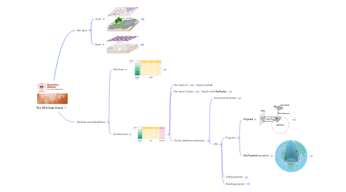
1. Data Types
1.1. Vector
1.1.1. common formats
1.1.1.1. shapefile
1.1.1.2. geopackage
1.1.1.3. geojson/topojson
1.1.2. Spatial representation
1.1.2.1. Polygon
1.1.2.2. Line
1.1.2.3. Point
1.2. Raster
1.2.1. Spatial representation
1.2.1.1. Pixel
2. DataFrame and GeoDataFrame
2.1. Data Frame
2.1.1. Native
2.1.1.1. R
2.1.2. Non-native
2.1.2.1. Python
2.1.2.1.1. Requires **Pandas**
2.2. Geo Data Frame
2.2.1. Non-native in R
2.2.1.1. Need to install **sf**
2.2.2. Non-native in Python
2.2.2.1. Need to install **GeoPandas**
2.2.2.1.1. Operations
2.2.2.1.2. advantages!
2.2.3. The Geo DataFrame understands...
2.2.3.1. Geometrical information
2.2.3.1.1. Polygon
2.2.3.1.2. Line
2.2.3.1.3. Point
2.2.3.2. CRS
2.2.3.2.1. Projection
2.2.3.2.2. Setting projection
2.2.3.2.3. Resetting projection