
Geospatial Information Systems
作者:hanna pascua
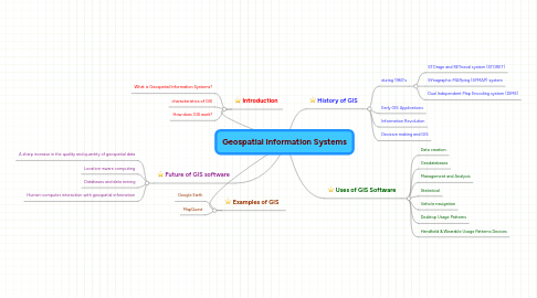
1. Introduction
1.1. What is Geospatial Information Systems?
1.2. characteristics of GIS
1.3. How does GIS work?
2. Future of GIS software
2.1. A sharp increase in the quality and quantity of geospatial data
2.2. Location-aware computing
2.3. Databases and data mining
2.4. Human-computer interaction with geospatial information
3. Examples of GIS
3.1. Google Earth
3.2. MapQuest
4. History of GIS
4.1. during 1960's
4.1.1. STOrage and RETrieval system (STORET)
4.1.2. SYnagraphic MAPping (SYMAP) system
4.1.3. Dual Independent Map Encoding system (DIME)