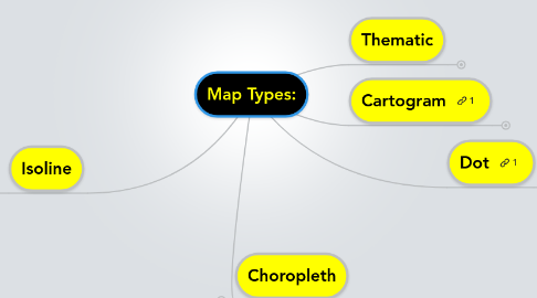
Map Types:
Door Katie Gamble


1. Choropleth
1.1. http://katieschoettler.blogspot.com/2010/04/standardized-choropleth-maps.html
1.1.1. This map uses one color, but in lighter or darker shades to represent different things.
2. Isoline
2.1. http://blogoutthemaps.blogspot.com/2011/01/isoline-map.html
2.1.1. isoline maps are used for weather by showing the high pressure and low pressures.
3. Thematic
3.1. http://www.mapsharing.org/MS-maps/map-pages-worldmap/5-world-map-religions.html
3.1.1. This map uses different colors to display information. <This map shows the different world religions.
4. Cartogram
4.1. http://www.thedailygreen.com/environmental-news/latest/world-population-cartograms-47012201
4.1.1. this map shows the projected population in 2050.
5. Dot
5.1. http://kellyhayner.blogspot.com/2011/07/dot-density-map.html
5.1.1. This map uses dots to show density or certain amounts of something in different locations.
