

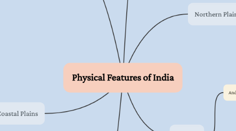
1. Peninsular Plateau
1.1. Deccan Plateau
1.1.1. Western Ghats
1.1.1.1. Lies along the Arabian Sea.
1.1.1.2. Continuous and can be crossed through passes only.
1.1.1.3. Average height is 900-1600 metres.
1.1.1.4. Highest Peak: Anai Mudi (2,695 metres)
1.1.2. Eastern Ghats
1.1.2.1. Lies along the Bay of Bengal.
1.1.2.2. Discontinuous and irregular and dissected by rivers.
1.1.2.3. Average height is 600 metres.
1.1.2.4. Highest Peak: Mahendragiri (1,501 metres)
1.2. Central Highlands
1.2.1. Malwa Plateau
1.2.1.1. It lies in Madhya Pradesh between Aravali and Vindhyas.
1.2.2. Chotanagpur Plateau
1.2.2.1. It Includes Jharkhand, parts of Chhattisgarh and West Bengal.
2. Coastal Plains
2.1. The Western Coast
2.1.1. Located between the Western Ghats and the Arabian Sea.
2.1.2. Relatively narrow.
2.1.3. Consists of three sections: the northern part is called Konkan, the central stretch is called the Kannad Plain and the southern stretch is called Malabar Coast.
2.2. The Eastern Coast
2.2.1. Lies between the Eastern Ghats and the Bay of Bengal
2.2.2. Wide and level.
2.2.3. Consists of two parts: the northern part is called Northern Circar and the southern part is called Coromandel Coast.
3. Indian Desert
3.1. Lies towards the western margins of the Aravali Hills.
3.2. Undulating sandy plain covered with sand dunes.
3.3. Arid climate with low vegetation cover.
3.4. Receives very low rainfall below 150 mm per year.
4. Himalayan Mountains
4.1. Longitudinal Division
4.1.1. Northern most range is known as Himadri or the Inner Himalayas.
4.1.2. Outermost range is called the Shiwalik.
4.1.3. Range south of the Himadri is known as Himachal or the Lesser Himalayas.
4.2. Regional Division
4.2.1. Kashmir and Himachal Himalaya from west to east.
4.2.2. Kumaon Himalayas lying between Satluj and Kali rivers.
4.2.3. Nepal Himalayas lying between Kali and Tista rivers.
4.2.4. Assam Himalayas between Tista and Dihang rivers.
4.2.5. Punjab Himalayas between Indus and Sutlej rivers.
5. Northern Plains
5.1. Formed by three rivers
5.1.1. The Indus, the Ganga and the Brahmaputra.
5.2. Three Sections
5.2.1. The Punjab Plain
5.2.1.1. The western part of the Northern Plains.
5.2.2. The Ganga Plain
5.2.2.1. It extends between Ghaggar and Teesta rivers.
5.2.3. The Brahmaputra Plain
5.2.3.1. It lies mainly in the state of Assam
6. Islands
6.1. Andaman and Nicobar
6.1.1. Big in size, numerous and scattered
6.1.2. An elevated portion of submarine mountains.
6.1.3. Located in the Bay of Bengal extending from north to south.
6.1.4. Experiences equatorial climate and have thick forest cover.
6.2. Lakshadweep
6.2.1. Composed of small coral islands.
6.2.2. Kavaratti Island is the administrative headquarters.
6.2.3. Lies close to the Malabar coast of Kerala.
6.2.4. Great diversity of flora and fauna.