
ESRI UC 2009
por Michael Stoddard
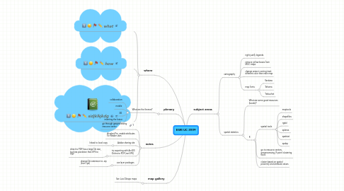
1. plenary
1.1. What are the themes?
1.1.1. collaboration
1.1.2. mobile
1.1.3. 3D
1.1.4. inventing the future
2. map gallery
2.1. San Luis Obispo maps
3. notes
3.1. go through geoprocessing resource center
3.2. Acrobat Pro, enable attributes for Reader uses
3.3. Adobe sharing site
3.3.1. linked to local copy
3.4. try exporting with ArcGIS Online to PDF (not EPS)
3.4.1. direct to PDF has a large file size, but less pixelation than EPS to PDF
3.5. use layer packages
3.5.1. change file extension to .zip (from .lpk)
4. where
4.1. what
4.2. how
4.3. sidjklkjkdg
5. subject areas
5.1. cartography
5.1.1. right justify legends
5.1.2. remove yellow boxes from MUC maps
5.1.3. change areas in zoning inset different color than main map
5.1.4. map fonts
5.1.4.1. Verdana
5.1.4.2. Tahoma
5.1.4.3. Trebuchet
5.2. spatial statistics
5.2.1. What are some good resources (books)?
5.2.2. R
5.2.2.1. spatial tools
5.2.2.1.1. maptools
5.2.2.1.2. shapefiles
5.2.2.1.3. rgdal
5.2.2.1.4. splancs
5.2.2.1.5. spatstat
5.2.2.1.6. spdep
5.2.2.2. go to resource centers, geoprocessing, R point clustering tools
5.2.2.3. cluster based on spatial proximity and attribute values