Unlock the full potential of your projects.
Try MeisterTask for free.
Vous n'avez pas de compte ?
Inscription gratuite
Parcourir
Cartes en vedette
Catégories
Gestion de projet
Objectifs d'affaires
Ressources humaines
Brainstorming et analyse
Marketing et contenu
Éducation et remarques
Loisirs
Vie courante
Technologie
Design
Résumés
Autre
Langues
English
Deutsch
Français
Español
Português
Nederlands
Dansk
Русский
日本語
Italiano
简体中文
한국어
Autre
Montrer carte totale
Copier éditer carte
Copier
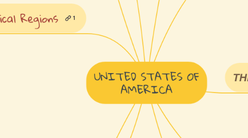
UNITED STATES OF AMERICA
Autre
Kevin Pacheco
Suivre
Lancez-Vous.
C'est gratuit
S'inscrire avec Google
ou
s'inscrire
avec votre adresse e-mail
Cartes mentales similaires
Plan de carte mentale
UNITED STATES OF AMERICA
par
Kevin Pacheco
1. Geographical Regions
2. Many of the early settlers settled on the eastern COSTAL PLAIN
3. On the west of it there are : THE APPALACHIAN HIGHLANDS. They are the States-Canadian border south to Central Alabama
4. in Interior Plains flowing the Mississippi and its tributaries.This is the AGRICULTURAL HEARTLAND OF THE UNITED STATES
5. The great Lakes are in the Northen part of the plains and the industrial cities grew up in this area
6. West of the plains are the ROCKY MOUNTSAINS that extend from new Mexico into Canada
7. The Lowest Point of the state is DEATH VALLEY
8. the governament si a federal republic
9. the most people are protestants
10. The Biggest Lake is the Lake Michigan (chicago)
11. the offical lenguage is American
12. The capital city is WASHINTONG D.C
13. CLIMATE
14. hot and dry in the south west
15. freezing cold in the north east
16. hot and humid in the southern states
17. The Largest River is MISSIPPI [3.778 KM]
18. THE valute is the USA DOLLARS
19. THE USA MADE UP 50 STATES
Lancez-vous. C'est gratuit!
Connectez-vous avec Google
ou
S'inscrire