Unlock the full potential of your projects.
Try MeisterTask for free.
¿No tienes una cuenta?
Regístrate Gratis
Navegar
Mapas Destacados
Categorías
Gestión de proyectos
Objetivos de negocio
Recursos humanos
Lluvia de ideas y análisis
Marketing y contenido
Educación y notas
Entretenimento
Vida
Tecnología
Diseño
Resúmenes
Otros
Idiomas
English
Deutsch
Français
Español
Português
Nederlands
Dansk
Русский
日本語
Italiano
简体中文
한국어
Otros
Ver mapa completo
Copiar y editar mapa
Copiar
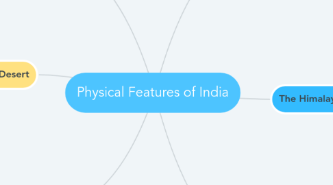
Physical Features of India
Resúmenes
Sidharth Gupta
Seguir
Comienza Ya.
Es Gratis
Regístrate con Google
ó
regístrate
con tu dirección de correo electrónico
Mapas Mentales Similares
Esbozo del Mapa Mental
Physical Features of India
por
Sidharth Gupta
1. The Northern Plain
1.1. Three divisions Punjab Plain Ganga Plain Brahmaputra Plain
1.2. Formed by Indus and its tributaries Ganga and its tributaries Brahmaputra and its tributaries
2. The Indian Desert
2.1. Lies towards the western margins of the Aravali Hills. Undulating sandy plain covered with sand dunes. Arid climate with low vegetation.
3. The Islands
3.1. Lakshadweep Islands Lies close to the Malabar coast of Kerala. Small coral islands. Kavaratti island is the administrative
3.2. Andaman and Nicobar Islands Big in size, numerous and scattered. An elevated portion of submarine
4. The Peninsular Plateau
4.1. Central Highlands Malwa Plateau Bundelkhand Plateau Baghelkhand Plateau Chhotanagpur Plateau
4.2. Deccan Plateau Western Ghats Eastern Ghats
5. The Himalayan Mountains
5.1. Longitudinal division Himadri, Inner Himalayas or Greater Himalayas Himachal or Lesser Himalayas Shiwaliks
5.2. Regional divisions Punjab Himalayas Kumaon Himalayas Nepal Himalayas Assam Himalayas Purvanchal
6. The Costal Plains
6.1. Western Coast Konkan Coast Kannad Plain Malabar Coast
6.2. Eastern Coast Northern Circar Coromandel Coast
Comienza Ya. ¡Es Gratis!
Conéctate con Google
ó
Regístrate