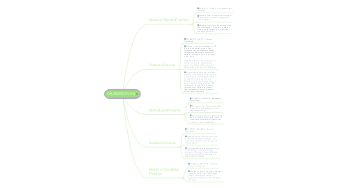
CALABARZON 4-B
Michael Ditablanにより

1. Marinduque Province
1.1. 13.4000° N, 121.9667° E - Marinduque, Coordinates
1.2. Marinduque is an island province within Region IV-B and classified as within the island group of Luzon
1.3. Marinduque lies between Tayabas Bay to the north and Sibuyan Sea to the south. *It is located south and west of Quezon, east of Mindoro, and north of Romblon
2. Romblon Province
2.1. 12.5500° N, 122.2833° E - Romblon, Coordinates
2.2. Romblon province could be found at the center of the Philippine Archipelago. It is a cluster of 20 islands and islets (3 major and 17 small islands)
2.3. It is surrounded by deep waters and lies on the Sibuyan Sea, north of Panay Island, southeast of Mindoro and west of Masbate. It is approximately 187 nautical miles and 169 air miles from Manila.
3. Mindoro Occidental Province
3.1. 13.0000° N, 120.9167° E - Occidental Mindoro, Coordinates
3.2. Mindoro Occidental is located in the island of Mindoro which is the seventh largest island in the Philippines. Mindoro Occidental is on the west side of the island of Mindoro.
4. Mindoro Oriental Province
4.1. 13.0000° N, 121.0833° E - Oriental Mindoro, Coordinates
4.2. Mindoro Oriental is located in the island of Mindoro which is the seventh largest island in the Philippines.
4.3. Mindoro Oriental is on the east side of the island of Mindoro. The province of Mindoro Oriental is within Region IV and within the island group of Luzon.
5. Palawan Province
5.1. 10.0000° N, 118.8333° E - Palawan, Coordinates
5.2. Palawan is a narrow archipelago of 1,780 islands on the western border of the Philippines, with the distinction of having the highest concentration of islands and being the most sparsely populated region in the country. Geographically, it is more remote from the other provinces in the country -in fact, some of its southern islands are closer to Malaysia than to the rest of the Philippines.
5.3. It is bounded by the South China Sea on the west and the Sulu Sea on the east. With a total land area of 1,703,075 hectares that occupies 5% of the national territory, Palawan is the country’s largest province. It has an irregular coastline of almost 2,000 kilometers long, indented by numerous coves and bays. Highland and rolling terrain covered with lush forests create a cool and scenic landscape.


