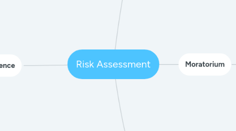
1. NDPE VDF 31 December 2015
1.1. Thematic Dataset
1.1.1. Liability cut off date 31 December 2015
1.1.2. Forest
1.1.2.1. Forest is defined as: “land spanning more than 0.5 hectares with trees higher than. 5 meters and a canopy cover of more than 10 percent, or trees able to reach these thresholds in situ (FAO, 2000)
1.1.3. Peatland
1.2. Legal Dataset
1.2.1. Peta Kawasan Hutan
1.2.2. Hutan Simpan Kekal
1.2.3. HGU/SHM
1.3. Pollicy
1.3.1. NDPE
1.3.2. SWO
1.3.3. Recovery Plan
1.3.4. HCV-S
1.4. Land grabbing
1.5. Grievence Dataset
1.5.1. Land Tenure
1.5.2. Land conflict
2. EUDDR 31 December 2020
2.1. Spatial Dataset
2.1.1. HGU
2.1.2. SHM
2.1.3. IUP
2.1.4. Land plot
2.2. Peta Kawasan Hutan
2.3. Thematic Dataset
2.3.1. Liability cut off date 31 December 2020
2.3.2. Forest
2.3.2.1. Forest is defined as: “land spanning more than 0.5 hectares with trees higher than. 5 meters and a canopy cover of more than 10 percent, or trees able to reach these thresholds in situ (FAO, 2000)
2.3.3. Planted area
2.4. Legal Dataset
2.4.1. Moratorium Dataset
2.4.2. FMU Compartement
2.4.3. UU KSDA
2.5. Biodiversity
2.5.1. Gajah
2.5.2. Harimau
2.5.3. Badak
2.5.4. Orang Utan
2.6. Izin PKKNK
2.7. Special case ; wood harvesting
2.7.1. PSDHR
2.8. Endemic species
3. Due Dilligence
3.1. High Risk
3.1.1. Palm oil planted inside Peta Kawasan Hutan >10% from village boundaries
3.1.2. Grievance Dataset
3.1.2.1. Indigenous People
3.1.2.2. Land conflict
3.1.2.3. Land grabbing
3.1.2.4. Coruption
3.1.2.5. Rights isue
3.1.2.5.1. Komnasham
3.1.2.5.2. Suhakam
3.1.3. Biodiversity
3.1.3.1. Gajah
3.1.3.2. Harimau
3.1.3.3. Badak
3.1.3.4. Orang Utan
3.1.3.5. Endemic species
3.2. Low Risk
3.2.1. Combination each factor such as include two or three factor.
3.3. Standard Risk
3.3.1. No overlapping with each factor or only refer to one factor
