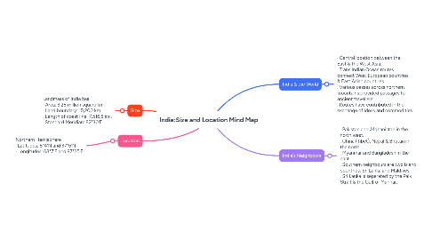
1.1. Landmass of India has · Area: 3.28 million square km. · Land boundary: 15,200 km. . Length of coast line: 7,516.6 km. . Standard Meridian: 82°30'E
2. Location
2.1. Northern Hemisphere . Latitudes: 8°4'N and 37°6'N · Longitudes: 68°7'E and 97°25'E
3. India & the World
3.1. . Central location between the East & the West Asia. . Trans Indian Ocean routes connect West European countries & East Asian countries. . Various passes across northern mountains provided passages to ancient travellers. . Routes have contributed in the exchange of ideas and commodities.
4. India's Neighbours
4.1. . Pakistan and Afghanistan in the north west. . China (Tibet), Nepal & Bhutan in the north. . Myanmar and Bangladesh in the east. . Southern neighbours are two island countries: Sri Lanka and Maldives . Sri Lanka is separated by the Palk Strait & the Gulf of Mannar.