Nigeria
Dylan Blaserにより
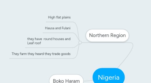
1. Northern Region
1.1. High flat plains
1.2. Hausa and Fulani
1.3. they have round houses and Leaf roof
1.4. They farm they heard they trade goods
2. Western Region
2.1. Most of the Savannah
2.2. yorubal is the largest
2.3. Many Yoruba have moved from the countryside
2.4. Those Yoruba who live in cities hold a variety of jobs. Some work in factories. Others work in offices. Still others are teachers, engineers, or doctors. Yoruba women often make money selling goods in street markets. They sell food, like yams, from their farms. They also sell homemade cloth, baskets, and other goods that tourists might want to buy.
3. Boko Haram
4. Eastern Region
4.1. The Niger River forms the western edge. This region receives more rainfall than other parts of Nigeria. Long ago, there were rainforests here. But people have cut down most of the trees to sell as timber. Today, swamps line the coast. The Niger River has built up a large delta where it enters the Gulf of Guinea.
4.2. The rest speak English as their first language. During colonial times, the Igbo worked with British missionaries and officials. Most became Christian. Many were educated at church schools. The British rewarded them with jobs in business and government throughout the colony.
4.3. In the cities, the Igbo build houses using mud bricks. Metal roofs protect the houses from heavy rains. In swampy areas, people build their houses on stilts. During the rainy season, they paddle canoes to their homes and climb ladders to get inside. Igbo wear colorful cloths. Igbo women wear one cloth wrapped around the lower body and another around the head. Men wrap cloth around the lower body.
4.4. Farming used to be Nigeria’s main economic activity.Today it is oil. Most of Nigeria’s wealth comes from selling oil to other countries.

