Unlock the full potential of your projects.
Try MeisterTask for free.
Non hai un account?
Iscriviti gratis
Naviga
Mappe in primo piano
Categorie
Gestione del progetto
Affari e obiettivi
Risorse umane
Brainstorming e analisi
Marketing e contenuti
Istruzione e note
Intrattenimento
Vita
ICT
Design
Sintesi
Altro
Lingue
English
Deutsch
Français
Español
Português
Nederlands
Dansk
Русский
日本語
Italiano
简体中文
한국어
Altro
Mostra mappa intera
Copia ed edita mappa
Copia
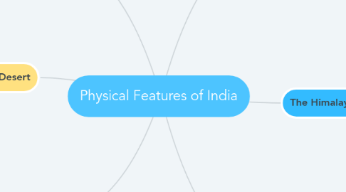
Physical Features of India
Sintesi
Sidharth Gupta
Seguire
Iniziamo.
È gratuito!
Iscriviti con Google
o
registrati
con il tuo indirizzo email
Mappe mentali simili
Schema mappa mentale
Physical Features of India
da
Sidharth Gupta
1. The Northern Plain
1.1. Three divisions Punjab Plain Ganga Plain Brahmaputra Plain
1.2. Formed by Indus and its tributaries Ganga and its tributaries Brahmaputra and its tributaries
2. The Indian Desert
2.1. Lies towards the western margins of the Aravali Hills. Undulating sandy plain covered with sand dunes. Arid climate with low vegetation.
3. The Islands
3.1. Lakshadweep Islands Lies close to the Malabar coast of Kerala. Small coral islands. Kavaratti island is the administrative
3.2. Andaman and Nicobar Islands Big in size, numerous and scattered. An elevated portion of submarine
4. The Peninsular Plateau
4.1. Central Highlands Malwa Plateau Bundelkhand Plateau Baghelkhand Plateau Chhotanagpur Plateau
4.2. Deccan Plateau Western Ghats Eastern Ghats
5. The Himalayan Mountains
5.1. Longitudinal division Himadri, Inner Himalayas or Greater Himalayas Himachal or Lesser Himalayas Shiwaliks
5.2. Regional divisions Punjab Himalayas Kumaon Himalayas Nepal Himalayas Assam Himalayas Purvanchal
6. The Costal Plains
6.1. Western Coast Konkan Coast Kannad Plain Malabar Coast
6.2. Eastern Coast Northern Circar Coromandel Coast
Comincia. È gratis!
Connetti con Google
o
Registrati