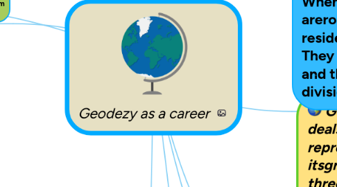
Geodezy as a career

Plan your next holidays and keep track of your favorite locations and attractions while creating a luggage checklist

Geodezy as a career
Door Zayn Malik
1. Moderntop-of-the-line total stations8 are fully robotic, and can even e-mail point data to the office computer and connect to satellite positioning systems, such as aGlobal Positioning System(GPS), a device used to help define a location and map it in relation to other spots on the planet. This is something that can be quite useful to geodesists who use GPS in their field of work. With the use of a GPS device, geodesists can locate the exact position of any object on the surface of Earth which gives them valuable information without the need to physically travel to locate or chart specific thing
2. Though real-time kinematic GPS systems have increased the speed of surveying, they are still only horizontally accurate to about 20mm and vertically accurate to about 30-40mm. However, GPS systems do not work well in areas with dense tree cover or constructions.
3. A faster way to measure large areas (not details, and no obstacles) is with a helicopter, equipped with a laser scanner, combined with a GPS to determine the position and elevation of the helicopter. To increase precision, beaconsare placed on the ground (about 20km apart). This method reaches precisions between 5-40cm (depending on the flight heigh.
4. What does a geodesist do? A geodesist measures the Earth's surface. He studies the science and shape of our planet as well as its gravitational field. A geodesist measures the size of the Earth on a global scale and also specific regions of land known as fixed points
5. By doing so, crustal shifts and polar movement can be detected. Measurements can determine rate of movement and other pertinent information. A geodesist assigns 3 dimensional points on, above and below the surface of the Earth to measure the average depths of oceans, mountain peaks and also abnormalities in the surface of the Earth
6. Surveying as a career
7. Geodesy is the scientific discipline that deals with the measurement and representation of the Earth, including itsgravitational field, ina three-dimensional time-varying space1 as well as with location of fixed points on the Earth.Geodesy in the course of its development was divided into a number of scientific and scientific and technical disciplines.
7.1. Higher geodesy,Potogrammetry
7.2. Maths,Physics
7.3. Аstronomy,Geography
7.3.1. Flight Number
7.3.2. Confirmation number