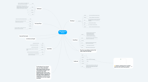
1. corn,beans and sqash.
2. they have surrounding mountains that make a bowl like landscape.
3. multistory dwellings that resembled aprments and round houses pueblos
4. Northwest
4.1. food
4.1.1. salmon, especially, but also whales, sea otters, seals and fish and shellfish
4.2. tribes
4.2.1. the Athapaskan Haida and Tlingit; the Penutian Chinook, Tsimshian and Coos; the Wakashan Kwakiutl and Nuu-chah-nulth (Nootka); and the Salishan Coast Salis
4.3. housing
4.3.1. e
4.4. climate
4.4.1. e
4.5. land
4.5.1. e
5. Northeast
5.1. Northeast
5.1.1. climate
5.1.1.1. Cold in the winter with snow and rain.
5.1.2. housing
5.1.2.1. wickups, wigwams and long houses
5.1.3. food
5.1.3.1. fish in the water and animals in the forests they grew crops like corn and beans and vegetables.
5.1.4. tribes
5.1.4.1. The iroquois and Mohican.
5.1.5. land
5.1.5.1. It is covered by forests and hills.
5.1.6. culture
5.1.6.1. iroquois contened with the eurupiones.
6. Great Basin
6.1. culture
6.1.1. great basin indians includes utah and nevada and big parts of oregon,idaho,wyoming,and colorado,and smaller parts of Arizona, montana and california.
6.2. tribes
6.2.1. The Goshute, the Ute, and the Paiute are the tribes of the great basin.
6.3. housing
6.4. land
6.4.1. they have surrounding mountains that make a bowl like landscape.
6.5. climate
6.5.1. There climate is usually hot
6.6. food
6.6.1. they eat nuts and hunted snakes
7. The Great Plains
7.1. food
7.1.1. grass land fed in the area buffalo lands.
7.2. culture
7.2.1. there cultuer is by living close to rocky mountins and missisipy river.
7.3. tribes
7.3.1. e
7.3.1.1. Crow, Blackfeet, Cheyenne, Comanche and Arapaho
7.4. climate
7.5. housing
7.5.1. They used tepees for shellers. they used villages for the rest of the year
8. Southeast
8.1. food
8.1.1. e
8.2. Culture
8.2.1. e
8.3. tribes
8.3.1. Creek, Choctaw, and Cherokee
8.4. climate
8.4.1. warm
8.5. housing
8.5.1. e
8.6. land
8.6.1. southeast area stretches from what is now Virgina and Kentucy to the Gulf of Mexido and west from the Altlantic Ocean to the Mmississippi River
9. South West
9.1. food
9.1.1. corn,beans and sqash
9.2. culture
9.2.1. they are famers and builders
9.3. climate
9.3.1. hot,no trees and cactus
9.4. Housing
9.4.1. pueblos and there made out of stone and adobe
9.5. Tribes
9.5.1. hopi,zuni,yaqui,yuma,navajo and apache
9.6. land
9.6.1. arizona,new mexico,coloroda,utah and texas and sesert regoins
