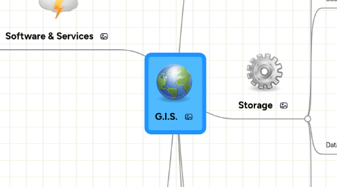
1. Software & Services
1.1. Infrastructure
1.1.1. Cloud Computing
1.1.1.1. SDI
1.2. L.B.S.
1.2.1. Advertisements
1.3. Navigation
1.3.1. Traffic Jam Detection
1.4. Geocoding
1.5. Geospatial Semantic web
1.6. Map View
1.6.1. Google
1.6.1.1. KML
1.6.2. Bing
1.6.2.1. High Res maps
1.6.3. OSM
1.6.3.1. OpenLayers
1.6.4. WMS (OGC Standard)
1.6.4.1. Esri
1.6.5. WFS (OGC Standard)
1.6.6. TMS (OGC Standard)
1.6.6.1. TileCache
1.6.6.2. TileLite
1.6.6.2.1. OSM
1.6.6.2.2. BruTile
1.7. Map Edit
1.7.1. MapInfo
1.7.2. Quantum GIS
1.7.3. Esri ArcInfo
1.7.4. PotLatch
1.8. Tile
1.8.1. Leaflet
1.9. Desktop GIS
1.9.1. QGis
1.9.2. Esri ArcMap
2. Sensors & Data Collection
2.1. Satellite
2.1.1. Radar
2.1.2. Lidar
2.1.2.1. Photogrammetry
2.2. GPS
2.2.1. Smartphones
2.2.1.1. DGPS
2.3. Data Quality
2.3.1. Projection issues
2.3.2. Intentional Errors
2.3.3. Unintentional Errors
2.3.4. "Data Conflation is an art"
2.4. Crowdsourcing
2.4.1. Foursquare
2.4.2. "VGI"
3. MSc Ideas
3.1. ClearView
3.2. ReInsurance Risk Analysis
3.3. Lidar elevation model
3.4. Live Traffic Jam Detection based on crowdsourced data
4. Visualization
4.1. Maps
4.1.1. Layers
4.1.2. 3d Maps
4.1.3. Google Earth
4.1.3.1. KML
4.1.4. OpenStreetMap
4.2. Projections
4.2.1. Cylindrical
4.2.2. Cone
4.3. Why maps?
4.3.1. Easy to spot patterns
5. Storage
5.1. Spatial Databases
5.1.1. BigData
5.1.2. Distributed Databases
5.1.2.1. MapReduce
5.1.3. NoSql
5.1.4. Query Language (OGC)
5.2. Search
5.2.1. Index
5.2.1.1. Quadtree
5.2.1.2. R-Tree
5.2.2. Geocode
5.2.3. Reverse Geocode
5.3. DataTypes/Structures
5.3.1. Vector
5.3.1.1. Point
5.3.1.2. Line
5.3.1.3. Polygon
5.3.1.4. Curve
5.3.2. Raster
5.3.3. GeoJSON
5.3.4. Esri Shape
5.3.5. XML/KML/GML
5.3.6. Gpx
5.3.7. Images
5.4. Standards
5.4.1. OGC
5.4.2. Inspire
6. Data
6.1. Natural Cat Models
6.1.1. EarthQuake Model
6.1.2. Flood
6.2. Organization
6.2.1. Themes
6.2.2. Layers

