

The USA
by trang lê
1. The Mid-Atlantis
1.1. The muscle of USA, the region's largest states,
1.2. Philadelphia, in Pennsylvania: the seat of the Continental Congress
1.3. rivers =>shipping lanes
1.4. New York City: the nation's largest city, financial and cultural center.
2. The Southwest
2.1. Open space; mostly deserte
2.1.1. The drier weather
2.1.2. Low population density, ethnicity
2.2. Apart that used to belong to mexico =>belong to America (Mexican-AmericanWar of 1846-48)
2.3. Population growth depends on the dam and the air conditioner
2.4. Open space; mostly desert
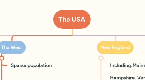
3. The West
3.1. Sparse population
3.2. Much of the land belong to the goverment
3.3. Bordering the pacific seas
3.4. 1840's, moving west to find gold; exploding population
3.5. Alaska and Hawaii: the two final states of the US
3.5.1. Alaska: a peninsula located in the reserve
3.5.2. Hawaii: an archipelago
4. New England
4.1. Including:Maine, New Hampshire, Vermont, Massachusetts, Connecticut, and Rhode Island.
4.1.1. The earliest Europeans: the smallest strict religious Puritans => fishing, shipbuilding, and trade
4.2. Education take an important role :IVY league, including Harvard and Yale
5. The Midwest
5.1. A broad collection of states sweeping westward
5.1.1. A flat farmland
5.1.1.1. Friendly and straightforward
5.1.1.1.1. The region's hub :Chicago; Illinoi: the nation's third largest city; Great Lakes port : connecting point for boats, trains and air traffic.
6. The South
6.1. Well known for culture, music and food
6.1.1. A long growing season:crop patterns, the plantation system, and black agricultural labor, whether slave or free
6.1.1.1. diverse national heritage
6.1.1.1.1. The fastest growing areas in the US; Houston =>the largest city