

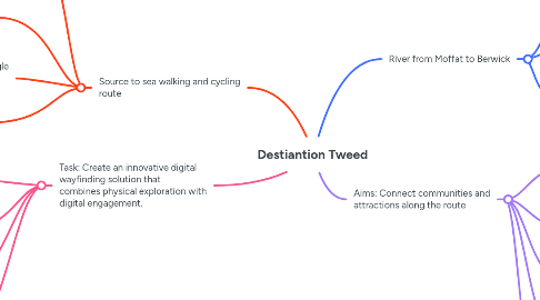
1. Source to sea walking and cycling route
1.1. Live navigation with gps tracking
1.2. Apps such as OSTrails and Google Maps will have inspiration and ideas to take from
1.3. Trail Customization: loops v linear and colours for people with visual impairment
1.4. Hiking and cycling app (both or just one) could be used to access the trails and do some sightseeing
2. River from Moffat to Berwick
2.1. The river generates a large income for the local borders region, attracting anglers from all around the world
2.2. Tourist attraction and brings in money for the local community to upgrade the facilities, walk ways and to build maybe coffee stands and resting spots
2.3. Points of Interests
2.3.1. Nature and bird spotting
2.3.2. Cultureal Spots: Borders history, Key sites like Melrose Abbey, Dryburgh Abbey, and Scott’s View
2.3.3. Local Amenities: Nearby pubs, cafes, or picnic areas. Parking and restrooms.
3. Aims: Connect communities and attractions along the route
3.1. Community Challenges: Group challenges (e.g., hike X miles along the Tweed in a month). Leaderboards for routes.
3.2. To bring in more tourists and generate more money for the community
3.3. Can be used to upgrade the local community with more money coming in from this project
3.4. Trail Highlights: showcase abbeys, historical landmarks, bridges, crossings and popular hiking routes
3.5. Educational Content: River ecology and conservation. Historical insights on the River Tweed’s role in Scottish culture.
4. Task: Create an innovative digital wayfinding solution that combines physical exploration with digital engagement.
4.1. Practical Tools
4.1.1. Weather Integration: Real-time weather updates. Notifications about trail conditions.
4.1.2. Safety Features: Emergency contact functionality. First-aid and survival tips.
4.1.3. River Tweed-Specific Data: Fishing information and permissions. Water levels and potential hazards for river crossings
4.2. Seasonal Recommendations: weather-related advice such as what to wear when there's mud, flooding
4.3. Progress Tracking: could be linked to Apple Watch and Apple Fitness to get data about calories burned and distance walked along river tweed if it's someone local
4.4. Additional Features
4.4.1. Photography Gallery: best spots for the best photos and community gallery of best pictures taken to bring the community close
4.4.2. Audio Guides: Stories and facts narrated for each trail.
4.4.3. Local Events: Information on events like TweedLove Festival or nature walks.