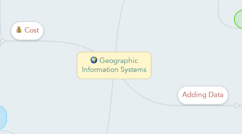
Geographic Information Systems
by Phillip Todd

1. Cost
1.1. Expensive
1.1.1. ArcGIC
1.2. Free
1.2.1. Google Earth
1.2.2. ArcGIS Earth
2. Symbolizing
2.1. Google Earth: Gives more customization option including symbols and great color scheme options
2.2. ArcGIC Earth: Symbols are provided but do not allow much customization
3. Adding Data
3.1. Google Earth: Allows to import and edit data after being imported
3.2. ArcGIS Earth: Also allows to import data
4. Saving Your Map
4.1. Google Earth: Very easy to save and gives access to more options
4.2. ArcGIS Earth: Saves quickly without leaving time to edit location and placement


